
Summary
Around 2.5 hours of walking time, a fantastic walk to Exmoor’s most picturesque valley (Hoaroak Water) including a picnic in a collapsed sheepfold. The walk leads to a part of Exmoor that it is very difficult to explore on shorter walks. It is particularly pleasant on a summers day with excellent views of the surrounding countryside.
Terrain
Much of the walk is on well-trodden paths, with one section over wet grassland. It does not tend to be boggy (though caution is always important).
Access, Start and End
Access to the walk is easy, and the start and end are the same point: either of the two car parks by the Pinkery centre on the north side of the B3358, here.
The Route
- Distance: 10.6 km
- Time: 2.5 hours
NOTE: A GPX file is not an alternative for knowing what you’re doing. Don’t rely on it, use it sensibly – and note that it may not be fully accurate. We accept no responsibility for consequences arising from using these GPX files.
Stage 1: To The Sheepfold
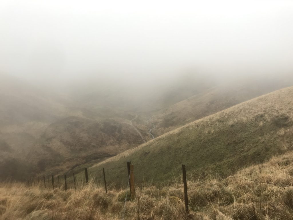
From the car park at Goat Hill Bridge, walk south-east along the road. The turning onto the Macmillan Way (West) is clearly signed through a narrow gate and along the left-hand side of a hedge. After about two kilometres, you reach the Tarka Trail, which you follow eastwards. This leads you down to Exe Head, the source of the river Exe (which gives its name to much of the surrounding countryside: Exford, Exebridge and Exeter just to name a few). It is an unassuming site, essentially just a boggy ridge. At this point, turn left into the Hoaroak valley itself. After about 1km, you reach a sharp bend in the path where it fords the stream: if you can’t cross the stream here, it is much narrower a few metres further upstream. Above this point, a sheepfold is marked on the map: this is where I suggest eating your picnic.
Stage 2: Lunch
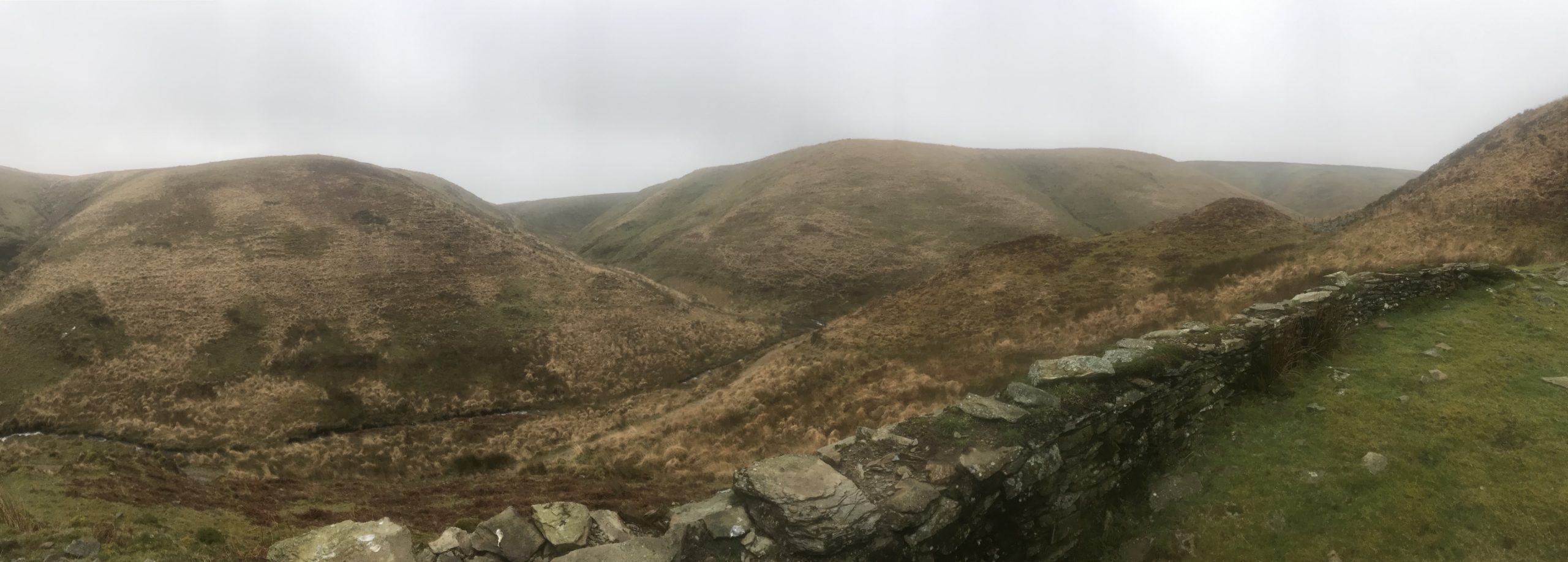
This walk provides an excellent lunch spot. Just up from the river is a collapsed sheepfold above Hoaroak Water (747 423 on OS map OL9). Hoaroak is Exmoor’s nicest, least spoilt valley (that I’ve found at least). In bad weather, the sheepfold offers numerous places to shelter from wind or rain, whatever direction it’s coming from. It also provides numerous old walls to sit on, but for the extra luxury you might want a picnic mat.
Stage 3: Return via Pinkery Pond
After lunch, instead of going back along the same path you came along, you can go back along the fence clearly marked on the map, to the south of the sheepfold: you will see its lower end coming down to the stream. Crossing back over the river, follow the east side of the fence steeply uphill onto a wide, flat section of moor, at which point the fence doubles – there are two strands of wire with a gap in between. In wet weather, it is easiest to walk in this gap. This fence joins back to the Tarka Trail after about 1.5km. At the Tarka Trail, turn right and this time carry on to Pinkery Pond (a famous beauty spot). A small track leads south to Pinkery Farm and then back to the Goat Hill Bridge car park.